Remote inspection · public reference data
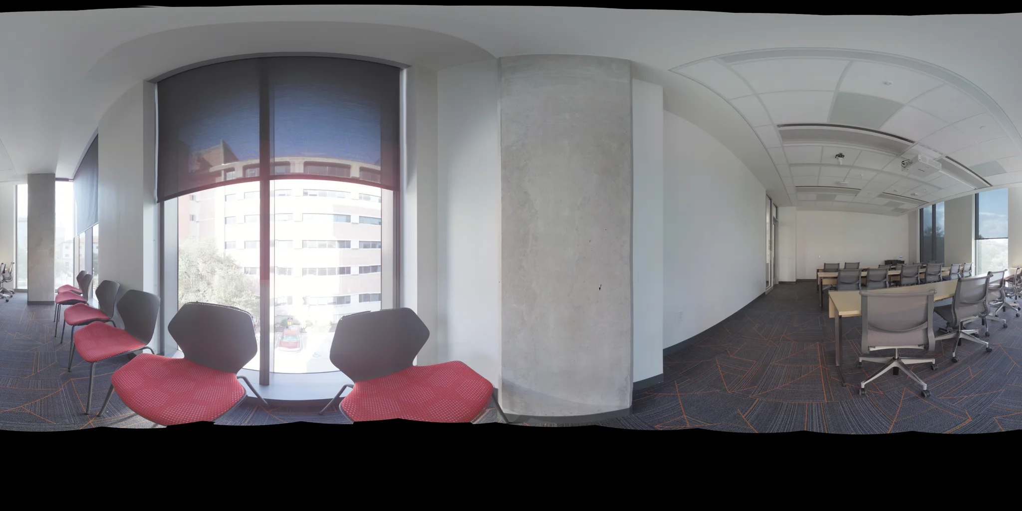
One place. The full context. A real laser scan, 360° imagery and the associated design model. Explore the evidence yourself.
Site capture Compare BIM Design 360° photo
LiDAR · colour point cloud
Measure distance
− + Reset view
Drag to orbit · Scroll while focused to zoom
Loading capture… Metres
Observed on site
More than a photograph. Move around the actual point cloud. Surfaces, openings and installed items have a position in space, not just a place in an image.
Source capture 32.4 million points
Supporting evidence 360° photography
Design reference IFC · 109 elements
The intelligence layer
Evidence → decision Link the observed condition to the relevant requirement. Give the reviewer the context to confirm progress, answer a question or request corrective work.
Save this view See how the work moves forward Real public dataset, not an OpenWork deployment. The point cloud is reduced for the browser. The comparison is a visual registration, not a certified dimensional inspection. Details